
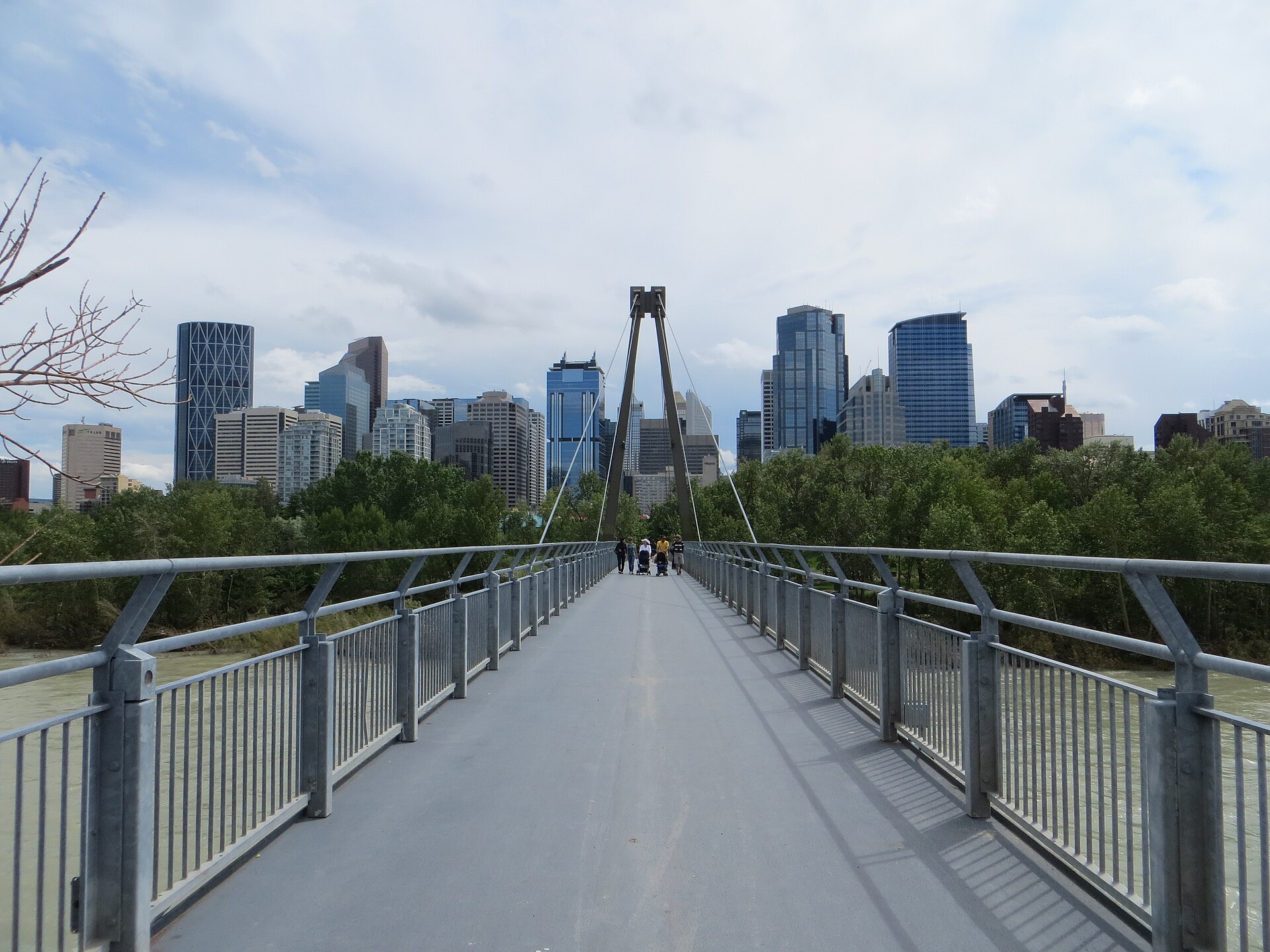
Living in Calgary
Mountains on the horizon, a river through the middle.
A local's guide to Calgary: where it came from, what to do, where to get outside and how to get around.
History
Where the Bow meets the Elbow.
Land acknowledgement
Calgary is located on the traditional territories of the people of Treaty 7: the Siksika, Piikani and Kainai Nations of the Blackfoot Confederacy, the Tsuut'ina Nation, and the Îethka Stoney Nakoda Nation, including the Chiniki, Bearspaw and Goodstoney First Nations. The city is also homeland to the historic Northwest Métis and to the Otipemisiwak Métis Government, including Nose Hill Métis District 5 and Elbow Métis District 6. The meeting place of the Bow and Elbow rivers is known in Blackfoot as Mohkinstsis.
For thousands of years the confluence of the two rivers was a gathering place. In 1875 the North-West Mounted Police built Fort Calgary there, and the arrival of the Canadian Pacific Railway in 1883 turned a small post into a town, and soon a city.
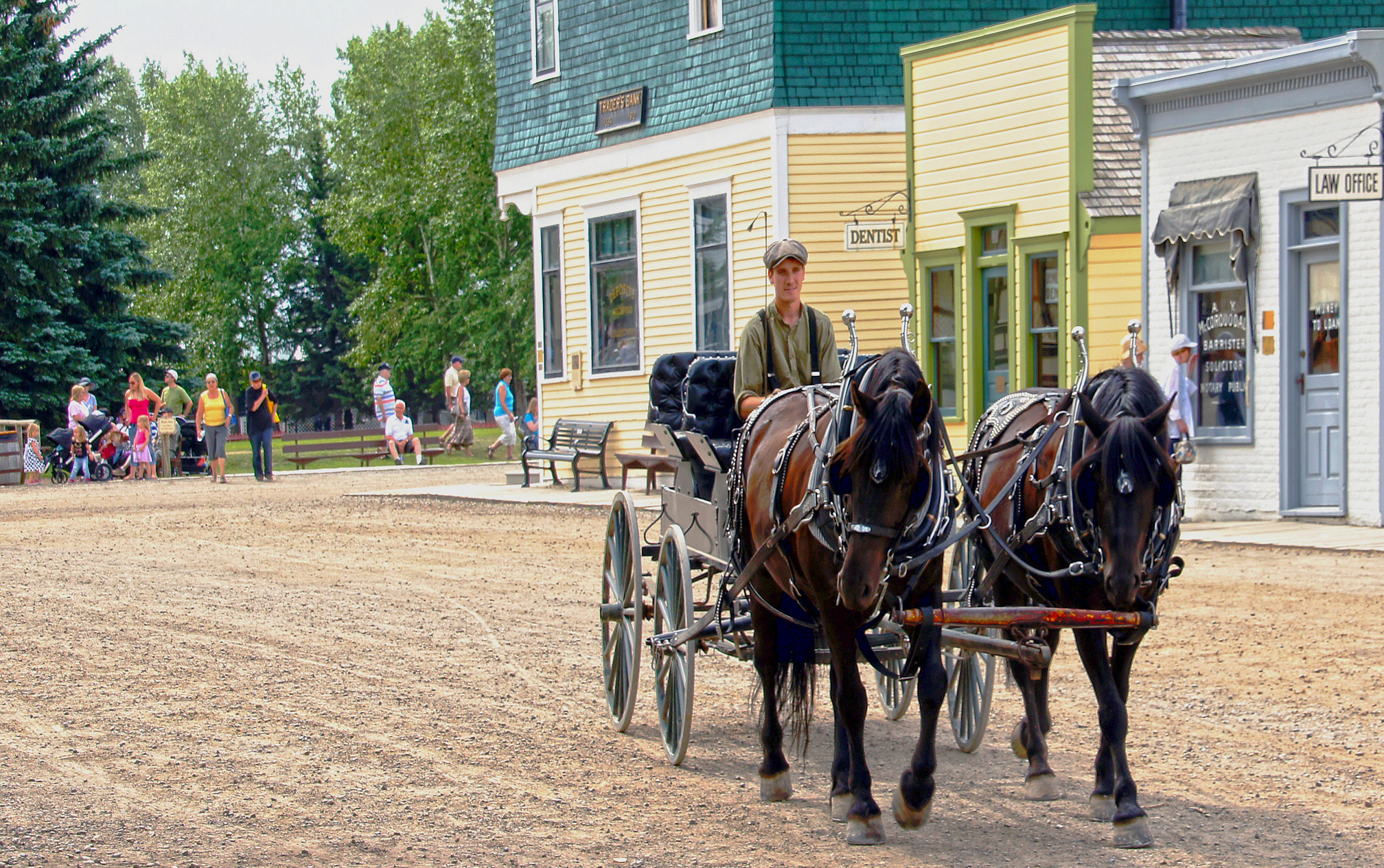
Ranching, then oil and gas, shaped the century that followed. The first Calgary Stampede was held in 1912, and in 1988 the city welcomed the world to the Winter Olympics. You can still walk through a century of that story at Heritage Park Historical Village, on the shore of the Glenmore Reservoir.
Arts & culture
A bigger arts scene than you might expect.
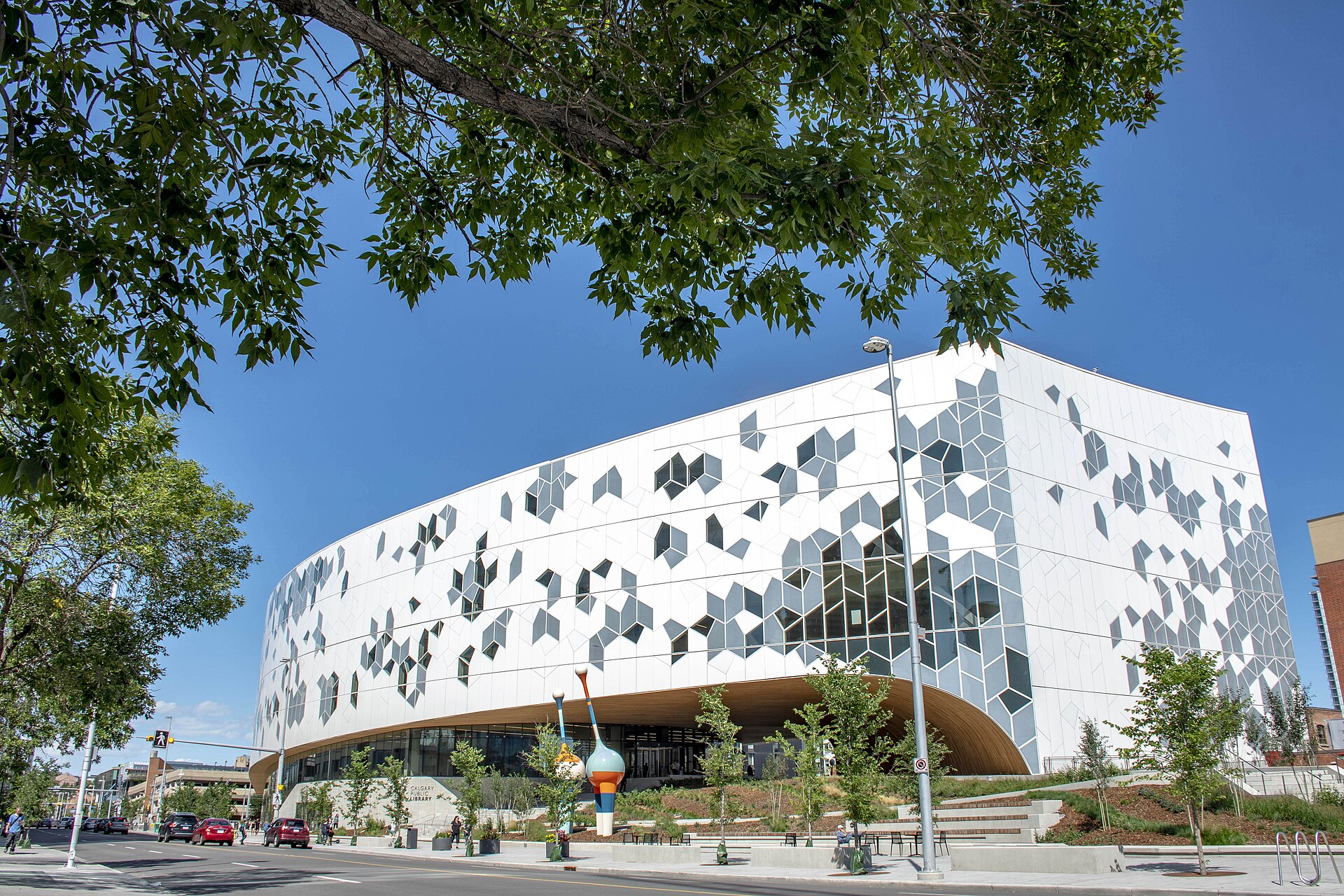
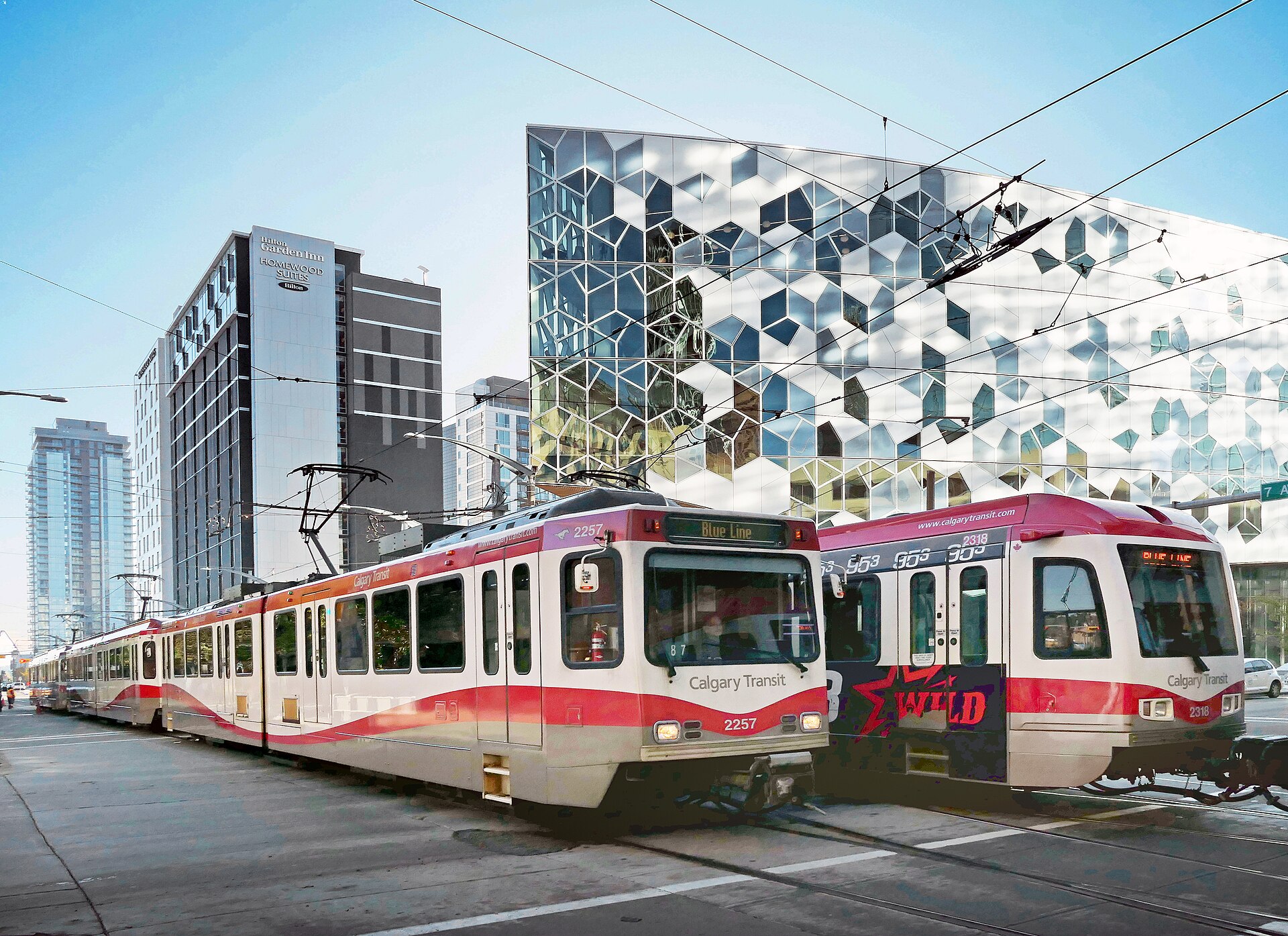
Downtown's East Village is home to two of the city's architectural landmarks: Studio Bell, home of the National Music Centre, and the Central Library, whose curving timber interior is worth a visit even if you don't need a book.
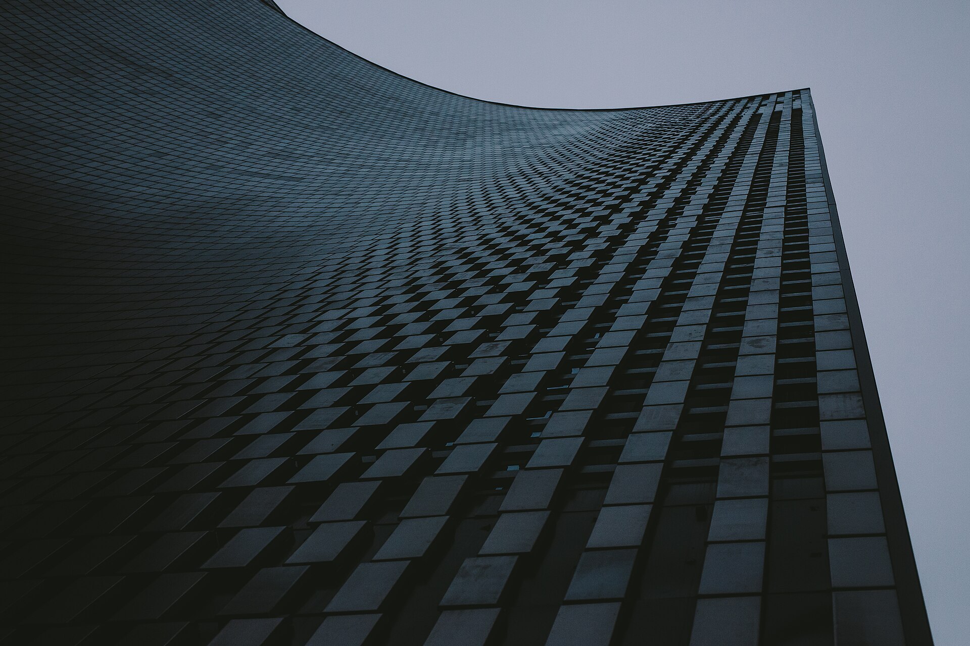
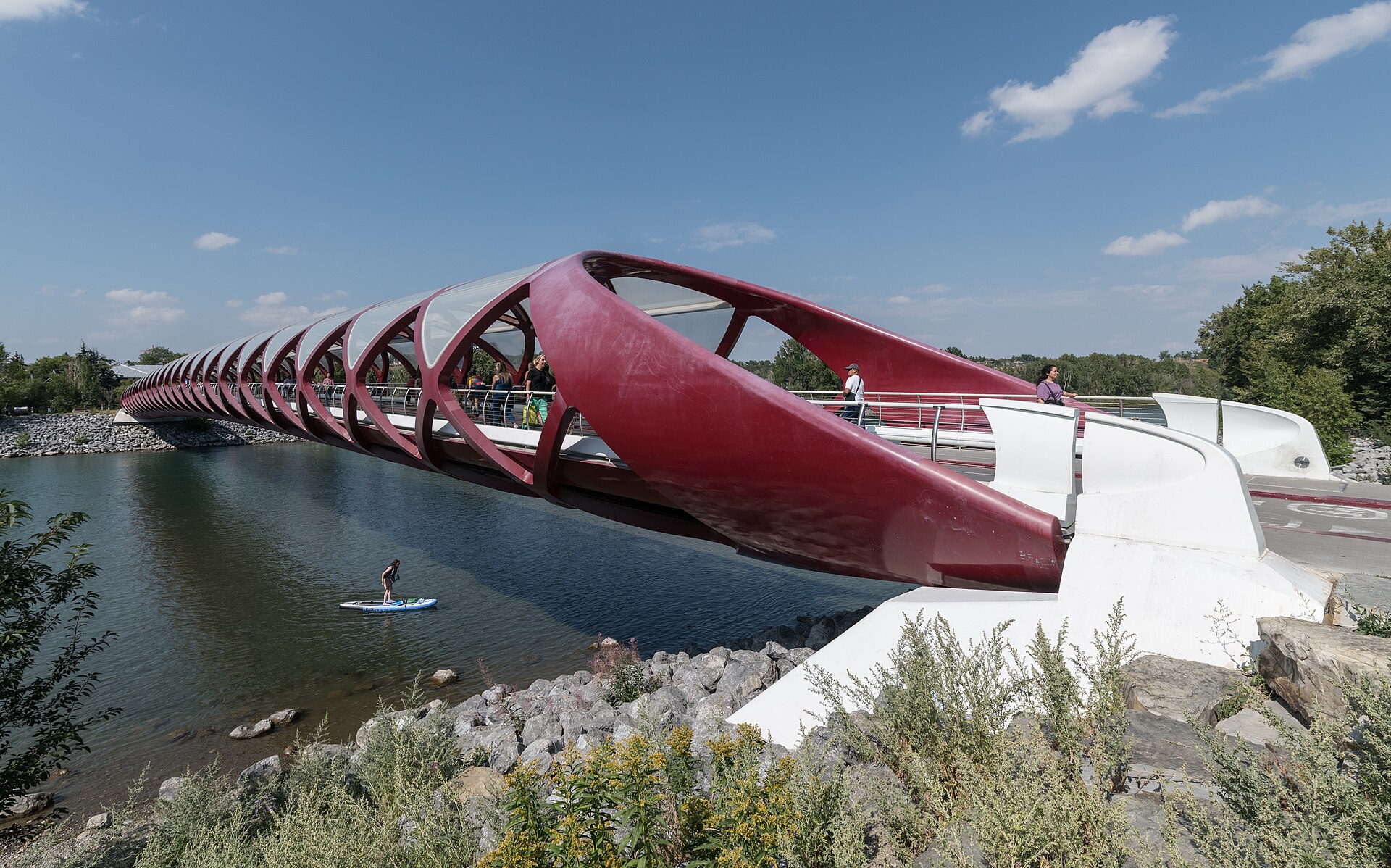
Every July the Calgary Stampede fills the city for ten days, and the Calgary Folk Music Festival takes over Prince's Island Park. Through the year there's live theatre, the philharmonic, the Calgary International Film Festival each fall, and public art around every corner, from Jaume Plensa's Wonderland sculpture outside The Bow tower to murals in the Beltline.
Outdoors
Parks at your door, mountains an hour away.
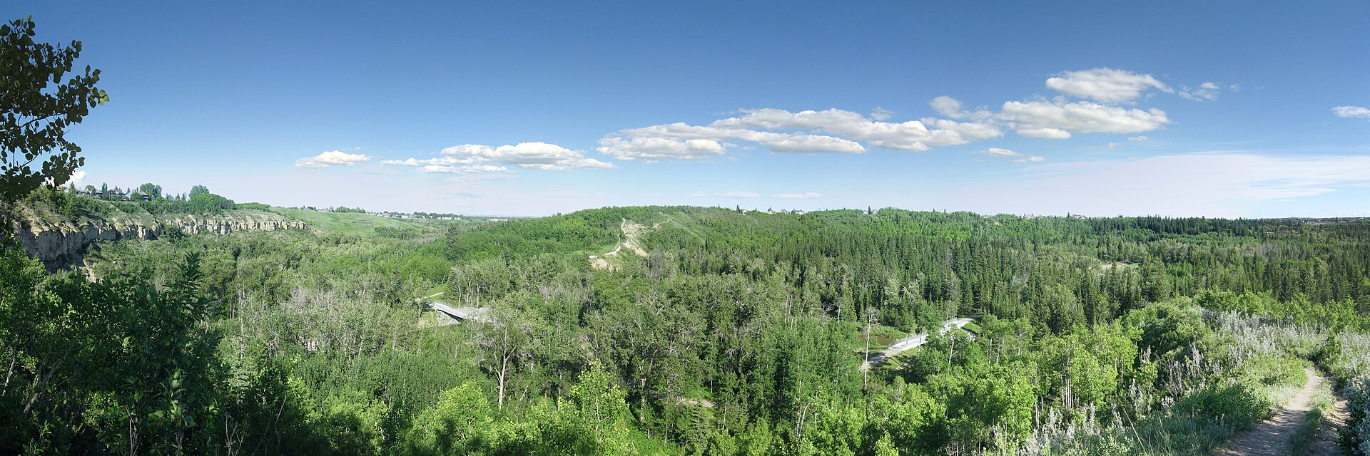
Calgary has one of the most extensive urban pathway networks in North America, roughly 1,000 kilometres of regional pathways along the rivers and through the parks. Many of the southern lake communities sit right beside Fish Creek Provincial Park, one of the largest urban parks in Canada.
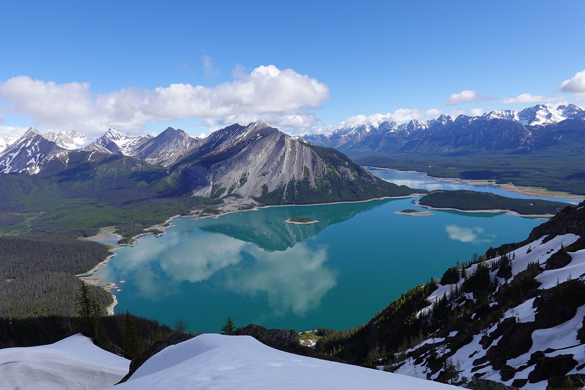
Closer to downtown, Prince's Island Park and the Bow River pathways are busy year-round, Nose Hill Park offers big prairie views, and the Glenmore Reservoir is the city's spot for sailing and paddling. And when the weekend comes, Kananaskis Country is about an hour's drive and Banff National Park about ninety minutes.
Getting around
Transit, commutes, chinooks and where to eat.
The CTrain's Red and Blue lines run from the suburbs through downtown, backed by Calgary Transit's bus network, including the MAX rapid routes. For drivers, Deerfoot Trail, Macleod Trail and Crowchild Trail carry most commuters, and Stoney Trail rings the city. YYC Calgary International Airport is in the northeast.
Calgary is one of Canada's sunniest cities, and in winter warm chinook winds off the Rockies can lift the temperature dramatically in a few hours. When it's time to eat, try 17th Avenue SW, Kensington, Inglewood or the Calgary Farmers' Market, and the restaurants and patios popping up in the newer lake communities.
Ready to choose a community?
Explore my guides to Calgary's lake communities, from Lake Bonavista to Mahogany.